Typical Bristol transit route as created by the planner. Quite a reasonable route, there are now broad shared pavements on most of the parts of the A403 used, probably excepting the first railway bridge. The second bridge, over the entrance to the former Avalon works, now the incinerator (sorry 'Energy from waste') site has a short section of narrow pavement. Direct but somewhat industrial, there are more attractive ways through NW Bristol. Still, with 160 odd kilometres of mostly rural riding perhaps some industrial estates, warehouses, docks, car pounds, tank farms, incinerators and so on make a refreshing and memorable change.
In Lawrence Weston I would use NCN41 past Saint Bede's school rather than Kingsweston Lane.
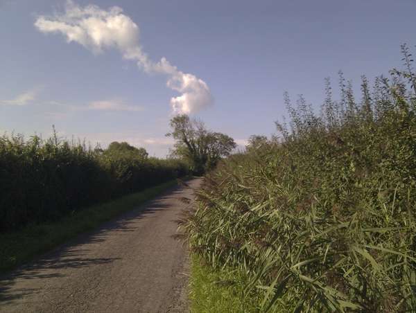
A rural approach up the Gordano valley towards Pill and the Avonmouth bridge.
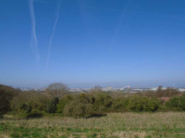
A refreshing change as you pass through over a century's historic industrial, warehouse and dockland scenery. Your route seen in the distance from Kingsweston Down.
But, all too soon, a return to country life, Bilsham Lane.