

Hi
In Belgium, we have added a lot of "double concrete tracks" in the last 20 years, which are now an important part of the cycling network.
The way the are currently (mostly) set up in Openstreetmap, they show up as "green" unpaved in the routing.
This would exclude them from the "paved" routing, which is not what I would expect.
So, is this a something that can be fixed in cycle.travel, or are the tags/track type wrong?
Example:
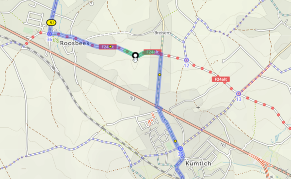
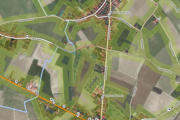
Oude Baan in Roosbeek:
Shows up as "unpaved":
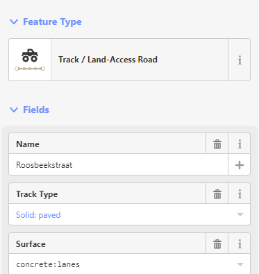
These are the properties in Openstreetmap:
https://www.openstreetmap.org/edit#map=16/50.8307/4.8858

Many thanks for looking into this!
Dominique


Comments
That’s an interesting one – I hadn’t seen the concrete:lanes surface value before! No problem: I’ve added it and it’ll be reflected in the next routing update.