

I've been planning one of Jack Thurston's "lost lanes" rides from Worcester.
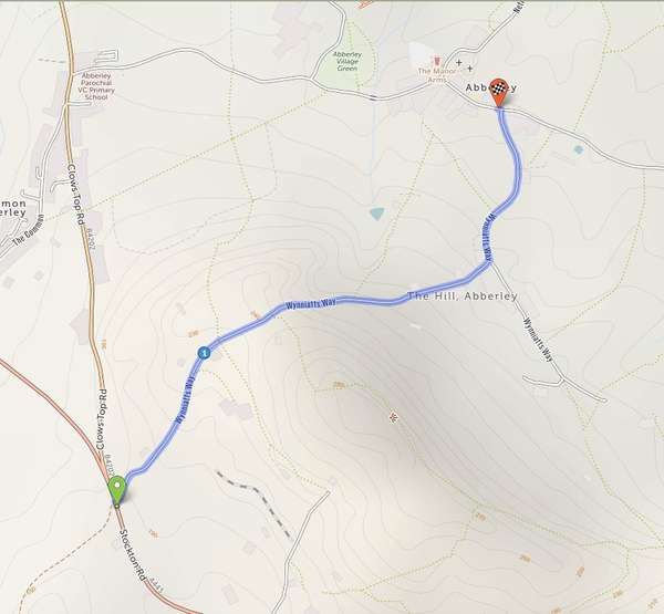
At Abberley the route should head south at 52.307562, -2.361908 along Wynniatts Way (52.303705, -2.369216) and emerge onto the A443 Stockton Rd at 52.300598, -2.372824. This works fine in Komoot for example.
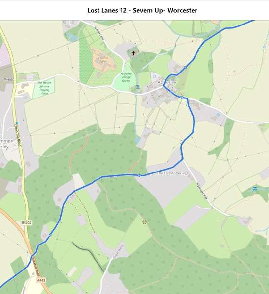
The same route in cycle.travel seems to create an odd loop via the B402 Clows Top Rd before sending the route back up Wynniatts Way and then down the same loop onto the B402 to end up at the same destination.
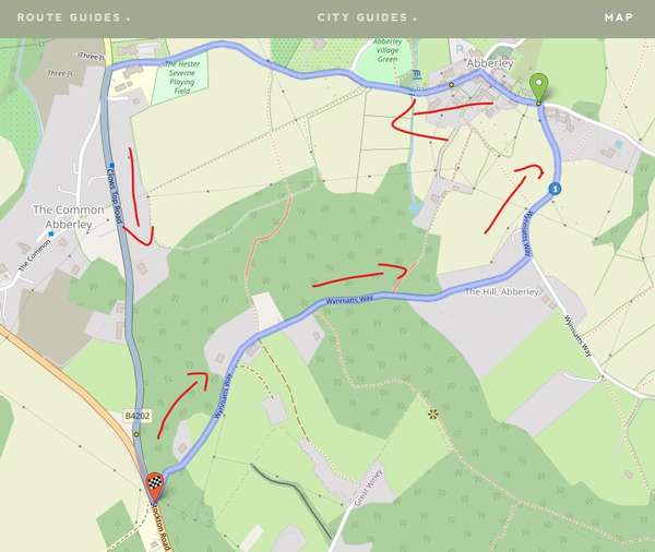
Is there some kind of one-way condition that will only allow cycle.travel to route south-to-north along Wynniatts Way? It seems to work OK if the route is reversed.


Comments
I think there’s an elevation artefact in here – it seems to be overstating the gradient just west of the junction with the dead-end road. It will go that way with a couple of via points. These ones aren’t usually easy to track down but I’ll see if I can fix it!
Thanks for the reply! I’ll pop in a couple of additional via points and hopefully that will override the constraint (whatever it might be!).