
Become a supporter
I've been planning one of Jack Thurston's "lost lanes" rides from Worcester.
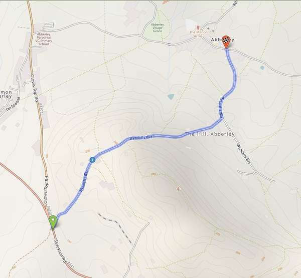
At Abberley the route should head south at 52.307562, -2.361908 along Wynniatts Way (52.303705, -2.369216) and emerge onto the A443 Stockton Rd at 52.300598, -2.372824. This works fine in Komoot for example.
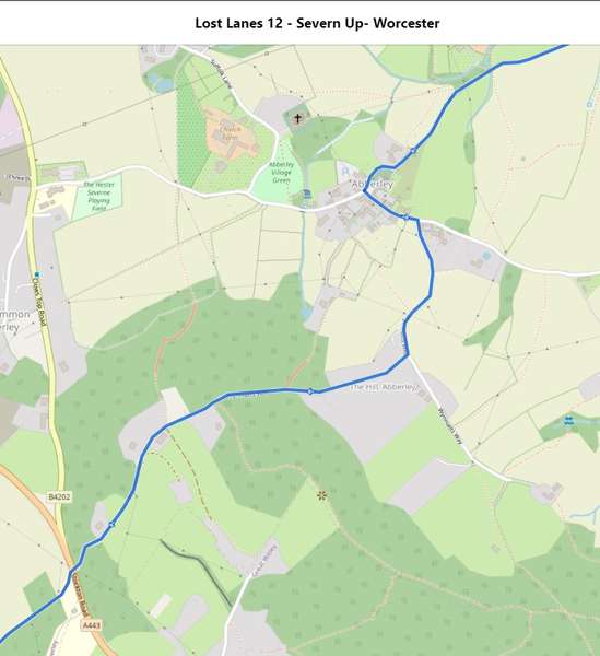
The same route in cycle.travel seems to create an odd loop via the B402 Clows Top Rd before sending the route back up Wynniatts Way and then down the same loop onto the B402 to end up at the same destination.
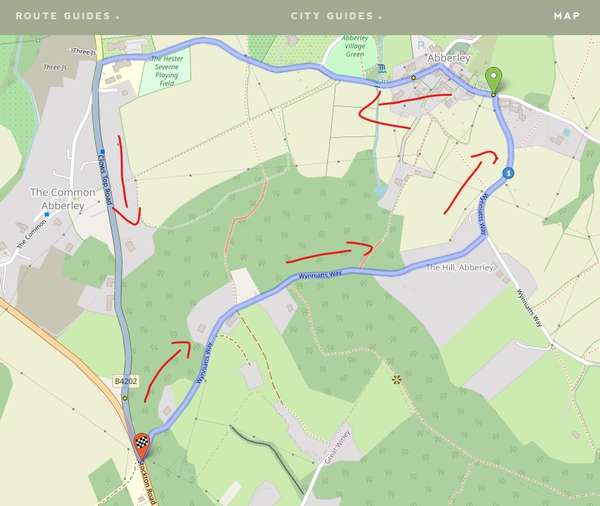
Is there some kind of one-way condition that will only allow cycle.travel to route south-to-north along Wynniatts Way? It seems to work OK if the route is reversed.
Is it possible to manually force a route through a "restricted" section of road?
I would like to include a section from 52.34171007305835, -1.54443122135738 to 52.33472387472711, -1.5215912508873715 which runs through the grounds of Stoneleigh Abbey in Warwickshire. It's accessible via cycles but on the map it shows a break in the path so most mapping tools avoid it.
Is there an obvious way to brute-force the cycle.travel route between two or more via points?
Many thanks.
I've downloaded the gpx / tcx files for the Radnor Ring (https://cycle.travel/route/radnor_ring), but loading it into Komoot it drops the route off the coast of Africa.
Checking in notepad the first trackpoint is <trkpt lat="5.22389" lon="-0.33775" /> which is in the Gulf of Guinea (https://goo.gl/maps/XZ7vWLn58YT89pBh6).
The National Cycle Museum (which is the route start point) is at 52.2389, -3.3775, so it looks like the decimal point has been shifted one place left for some reason.
Any ideas how to resolve?
Many thanks.


Made in the Cotswolds. Published by Éditions Système D Ltd.
Log in with your cycle.travel account:
| Password |
Or simply use your account on:
