Become a supporter
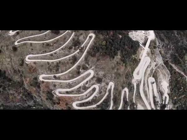
If you’ve ever grumbled at the unpaved bits of (say) Coast & Castles, take a look at this small but evocative collection of photos of touring the Scottish Highlands. Tarmac? Luxury!
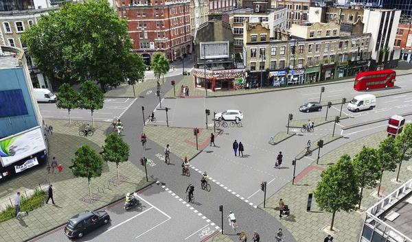
Exactly what you need when setting off from a city intersection after a perfectly executed track stand: a trumpet fanfare.
An ambitious plan to create a cycle route following the iconic US Route 66 is set to go ahead following crunch meetings with California transport officials.
The Adventure Cycling Association and the US Bicycle Route System – roughly speaking, America’s equivalents of the CTC and the National Cycle Network respectively – have together been planning a route from Chicago to Santa Monica, California, following the famous ‘Main Street of America’. The route would use the original Route 66 where possible, now a quieter road after Interstates (motorways) were created parallel to much of its length.
In eastern California, however, ACA concluded that the old route was too rough for enjoyable cycling. They quoted cyclists who have tried the route:
“[The surface] suddenly looked like it went through a war, with many huge cracks in the direction of travel that could swallow up my buddy John’s 38mm wide tires!”
“Route 66 quickly became the devil's highway, el camino del diablo, Route 666! We hit the worst [surface] of my life, about thirty or forty miles of it.”
“It gradually progresses from rough, to bad, to very bad, to ‘are you kidding me?!’. The hills are gentle, and the views are amazing… but I spent most of my attention dodging potholes, rocks and generally deteriorated roadway.”
Ironically, the best alternative identified is on the modern Interstate, where the hard shoulder provides for smooth and (largely) safe riding, if not quite so scenic. Bike riding is permitted on many Interstates in central and west coast America – but not on the crucial section of I-40 required to bypass the rutted parts of Route 66.
ACA and its supporters have been lobbying the California Department of Transportation to permit cycling along this section. Initially they refused, suggesting an alternative detour which involves a long hack across a desert then a stretch on another, busier Interstate. ACA felt this was not good enough – and with the deadline looming for the new Route 66 maps, time to find a solution was running out. Meanwhile, the local county government has no funds to repair the cracked surface of the old Route 66.
Now, after an emergency meeting on February 4, the Department of Transportation has conceded that the detour is not a real alternative, and in ACA’s words “has committed to working with us to find a solution”. It is hoped an outline solution can be identified this month in time for the maps to go to print.
Ginny Sullivan, special projects director for ACA, said the effort would be worthwhile.
“The vision for Bicycle Route 66 is the same as the original vision for Route 66, which was to connect the main streets of rural and urban communities. Bicycle Route 66 will be a perfect choice for traveling cyclists looking to explore the American heartland's natural beauty, history, and funky out-of-the-way places.”
The route itself will be around 2,500 miles long, bringing the Adventure Cycling Route Network to a total of 43,000 miles.
The UK has its own bike route 66 – an NCN route from Manchester to Leeds via the Rochdale Canal towpath, old railways and the Leeds & Liverpool Canal, plus a second section in rural East Yorkshire. It might not have the roadside diners and weatherworn gas stations of its more famous sibling, but you can get a mean organic lentil patty in Hebden Bridge.
Our route-planner finds a bike-friendly route between any two places in Europe or North America.
Planning your route
Either:
You don’t need to click at every junction – just the start and end; it’ll fill in the rest.
If the route isn’t to your liking, just drag it away from the section you want to avoid. You’ll see it re-route as you move the mouse.
A new ‘via’ marker appears when you do this. If you want to get rid of it later, just click it, then choose ‘Remove via point’.
If you’re heading out overnight (or longer), we’ll show you accommodation close to your route. Click ‘Find hotels’, and icons will appear for hotels close to the route. You can use the ‘£££’ menu to filter by price. Each hotel has a booking link for a popular site like Booking.com: you pay the usual price, but we get a little commission that helps keep the site running.
If you don’t find any hotels close to the route, drag it through a nearby town and try again. You can choose campsites too.
Click the mountain icon to see an elevation profile for the route. Move your mouse along it, and a pointer will run along the map; click to jump to that place.
Once you’re logged in with cycle.travel, you can save as many routes as you like for future use. You can log in with Twitter, Facebook or your usual email address; then use the ‘Save’ button. All your routes are accessible via the ‘My’ link at the top.
You can print your route by saving it then clicking the ‘PDF’ button.
For turn-by-turn directions, choose the “Cue sheet” option. The instructions won’t always coincide with signs or road markings, so do look at the map as well. (In North America and the UK, note there’s always an instruction as you leave a village or town, even when there’s no turn.)
You can also get your route in a handy PDF ‘routebook’, with full resolution colour maps. Print it out, or save it on a smartphone, tablet or Kindle.
Use the GPS button to download a track that you can load into a GPS unit or smartphone app.
Can I share a route with friends? Yes. Make sure you’re logged in, then just save your route. You can then copy the link in the address bar (it’ll look like cycle.travel/map/journey/9786) and send it to your friends.
How does the route-planner choose a route? We juggle many factors to find the best overall route. Like the Coca-Cola recipe, the exact balance is secret, but ingredients include: distance, road or path type (quieter is better), surface quality, hills, directness (i.e. fewer turns), signposted cycle routes (e.g. National Cycle Network), traffic restrictions, and the speed and amount of motor traffic (UK only). We’ll also sometimes suggest pushing your bike a short way if it avoids a very long detour.
Can I adjust the routing preferences? You can choose between ‘Paths & roads’ and ‘Paved only’. The latter will ensure that you don’t go on any unpaved tracks (assuming the source mapping data from OpenStreetMap is correct!).
Any more options aren’t possible because of the way our route-planner works. We precompute all the best routes across Europe and America. It’s a slow process (about two days), but makes the route-planner fast for you, the user. If we offered options like “use major roads”, we’d have to precompute a new set of routes for each combination of options. This would take another 24 hours each time, and then we’d need a new server for each set – so seven new servers for just three tickboxes!
Instead, we aim to get the balance right between all the different factors, then make it easy for you to adjust it by dragging the route. Use the elevation profile and the map to see if there’s anywhere you’d rather avoid, then just drag the route away.
How do I put the route on a Garmin GPS? Check out this thread.
Why can’t I find a circular route sometimes? If the out and back routes would largely follow the same roads, the route-planner won’t make a circular route. This can happen for short-distance routes, or where there’s a busy road and only one safe alternative. Drag the start or end point around then try again.
Are there differences between countries? Yes; we adjust our ‘good road’ criteria for each area.
Can I change from miles to kilometres (or vice versa?) Sure. Make sure you’re logged in, then click ‘My’ at the top. Choose the ‘Profile’ page, where you can alter your settings.
How often does the data update? We aim to update our base maps and routing data every month, but it may be less often if we’re working on new features.
Do you have an API I can use for my own site/app? We don’t have a public API, but talk to us and maybe we can sort something out.
I’ve got another question! Questions or suggestions, we’d love to hear them. Post over in our forum.
Five National Parks are to share in a pot of £2.7m to develop new cycle routes.
The second tranche of funds follows an £12m award in 2013, although several of those schemes later ran into trouble. This time, Dartmoor, the Yorkshire Dales, the South Downs, the Peak District and the Norfolk Broads are to benefit from the cash.
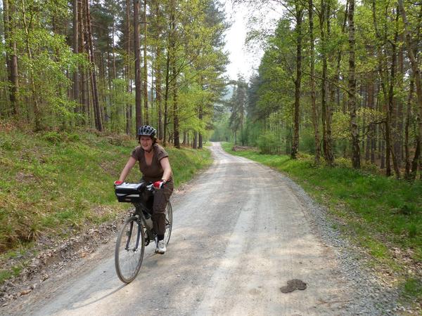
£450,000 will pay for “a new cycle gateway to the Yorkshire Dales National Park” – a fancy way of describing £2.5m of towpath resurfacing and upgrades around Skipton on the Leeds & Liverpool Canal. The canal is already popular with cyclists around Leeds and Bradford, but in the Skipton area (pictured) it is notorious for its rough surface.
£675,000 will go towards five schemes including additional routes, on-trail improvements and improved links to nearby areas.
£450,000 to upgrade existing routes to create ‘easy access’ cycling facilities. The South Downs National Park is currently upgrading the ten-mile Meon Trail to replace “a deep muddy surface that rarely dries out”.
£430,000 to create a new short cycle link providing access from North West Matlock to the Monsal Trail. The trail, which follows the former railway line between the East Midlands and Manchester, has proved popular since its recent extension, but currently peters out a short way south of Bakewell. Derbyshire County Council is already working on the extension to Matlock, which will follow the existing footpath next to the Peak Rail preserved railway. In most places it will be 3m wide and surfaced with stone.
£715,000 to construct a shared cycleway and footway between Wroxham/Hoveton and Horning. At present, a busy, narrow A-road is the only option for cycling between the two popular Broadland villages.
Conspicuous by its absence is the New Forest National Park, which has recently called for restrictions to be imposed on cycle events staged in the area. The New Forest authority was forced to hand back £1.6m of funding after the Department for Transport concluded its plans would not provide sufficient benefit for cyclists.
Log in with your cycle.travel account:
Password |
Or simply use your account on: