

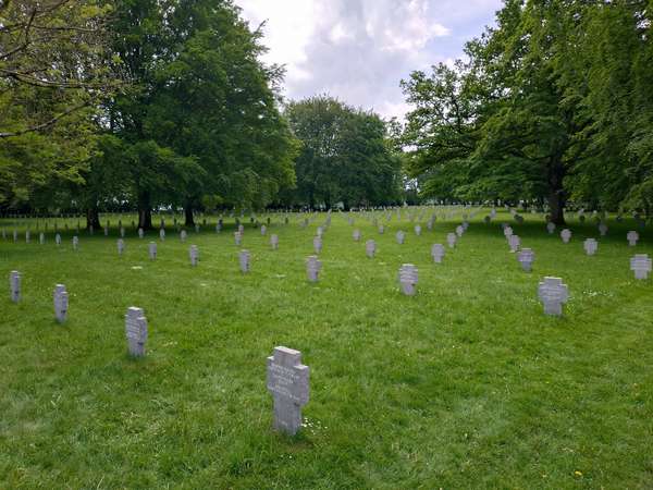
I had thought to ride further into Luxembourg (another 140 km), but weary from yesterday’s effort and with more rain forecast later, I used cycle.travel to generate a more direct route to Bastogne. So out of Clervaux back along the river, then climbing to Boxhorn and across the rolling agricultural landscape: a mix of grassland, wheat fields and some woodland, something like Salisbury Plain but at 520 metres elevation and without the military activity. As the route crossed the invisible Luxembourg-Belgium border this briefly took me along an overgrown farm track (No criticism, C.T can only work with what OSM gives it, but oh, those Belgian nettles do sting) before popping out onto another fine RAVeL cycle path, this one Ligne 163 which runs all the way to Bastogne. Branching off, I headed towards Recogne to see the German WW2 cemetery: six names per gravestone, many just as “ein Deutscher soldat”, and with an appropriately solemn chapel.
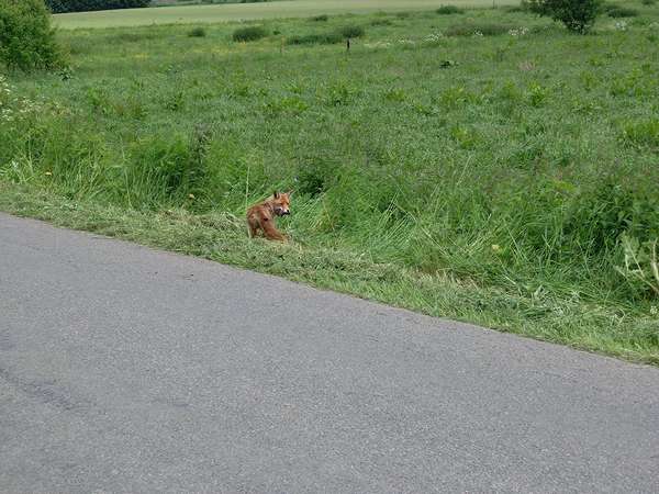
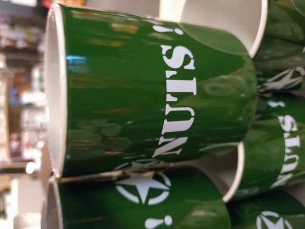
Doubling back, a nonchalant fox with lunch trotted across the road in front of me, before I followed L163 all the way into Bastogne then to the war museum and Mardasson memorial (www.bastognewarmuseum.be). Lunch in the buzzing war museum café, then took the audio-guided tour around the museum, I was particularly taken by the (presumably replica) land mines set under glass in the museum floor. Plenty of General McAuliffe-themed souvenirs in the gift shop.
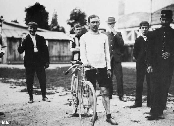
Bastogne is also the turning point for La Doyenne or Liège-Bastogne-Liège, the oldest of the “Monument” major one-day cycle races. It was first won by Léon Houa in 1892 in a time of 10 hours 48 minutes. The 254 km was completed by Tadej Pogačar in 6:13 in April 2024.
Stopped overnight at Hotel Wagon Léo, with its excellent brasserie partly constructed from an old railway carriage (with Bastogne-Nord station signs). Highly recommended. Distance 40 km, elevation 481 m.

