
Become a supporter
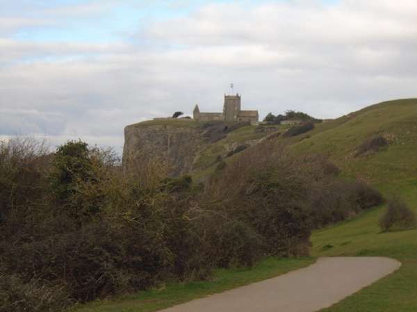
Late spring and the marshes are golden with buttercups, the rhines with yellow flag iris and the pastures are lush. Down the Strawberry Line from Yatton station, tunneling through the Mendips to Axbridge, then on through Cheddar using the lane along the lower slopes of the Mendips to turn south near Draycott and start across the pastures round Nyland Hill, one of several bumps dotting the levels, rising slightly to the Isle of Wedmore. Descend from the Wedmore ridge into the marshlands of the Somerset Levels, turning west across Tadham Moor and then north again through Mark, with its church a landmark in the wide plain. Cross the A38 and then on past Brent Knoll, another bump in the plain, to enter Weston-super-Mare through the Walbarrow reserve under St Nicholas, Uphill, perched above the quarry cliff. Along the front and past the park to WSM station.
Refreshments at the Pumpkin Cafe & Delicatessen in the attractive little town of Wedmore, and other cafes and inns in the town and on the route.
The last mile of B road into Wedmore can carry fast traffic but the 30 mph limit is soon reached. With a slight detour it is possible to turn north at Cocklake and then west to join the quieter middle road on the Wedmore ridge.
It is not possible to cycle north across the A38 dual carriageway just south of Brent Knoll, the crossroads allows right turns for traffic from the south only. Dismount and walk across each side separately, usually eased by southbound traffic jams and relatively sparse north bound traffic. Traffic on Accommodation Road beside the railway is fairly light sometimes fast. To avoid this it is also possible to join the rougher southern part of NCN33 by turning west to the holiday camp. Through the Walbarrow Reserve, NCN33 is tarmaced.
During the day an hourly train service links Weston, Yatton Temple Meads and the Severn Beach line.
Beyond the Mendips - Cheddar reservoir seen from the Strawberry Line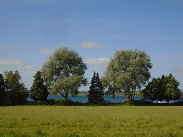
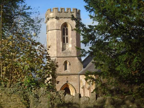
Axbridge - King John's hunting lodge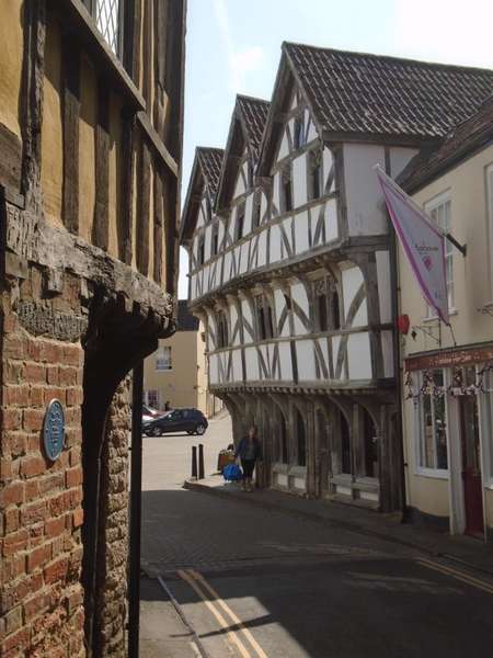
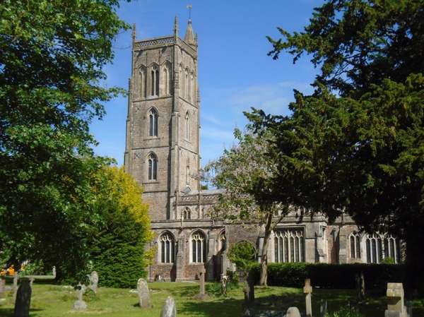
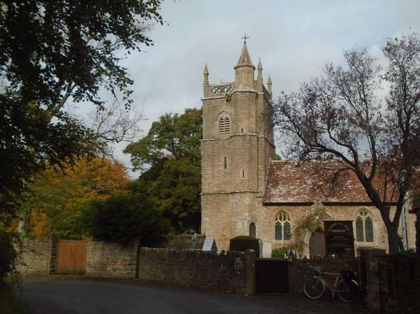
St Andrew's church, Cheddar
Looking back across buttercups on Nayland Moor to the Mendips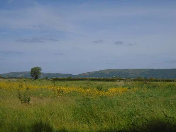
The low ridge of the Isle of Wedmore seen looking back across buttercups on Tealham Moor 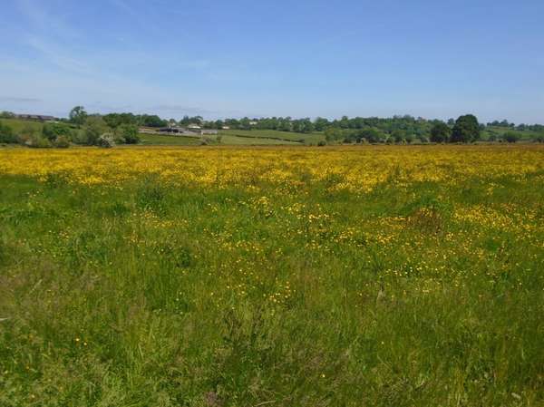
Yellow flag iris in Jack Drove rhine on Aller Moor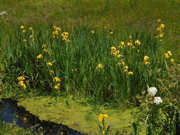
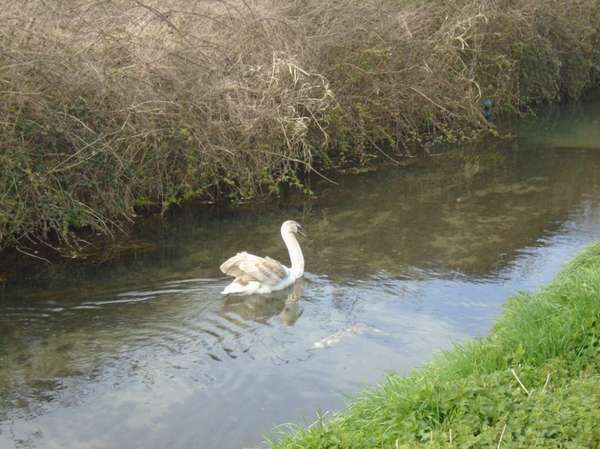
Crossing Tadham Moor - swans on the North Drain as it passes through the buttercups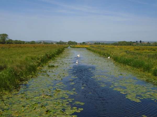
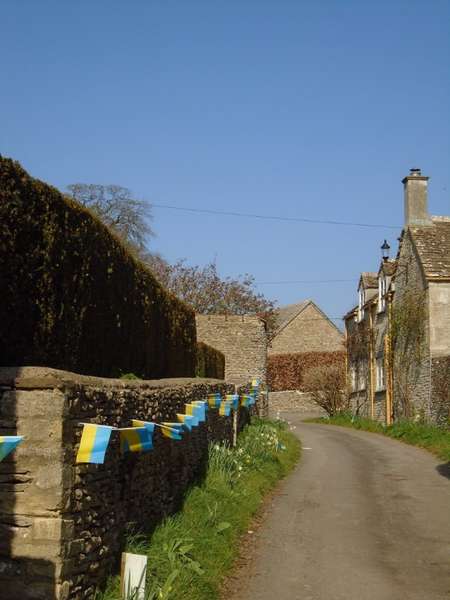
Mark church seen from the seats beside Mark Rhine with buttercups in the village pasture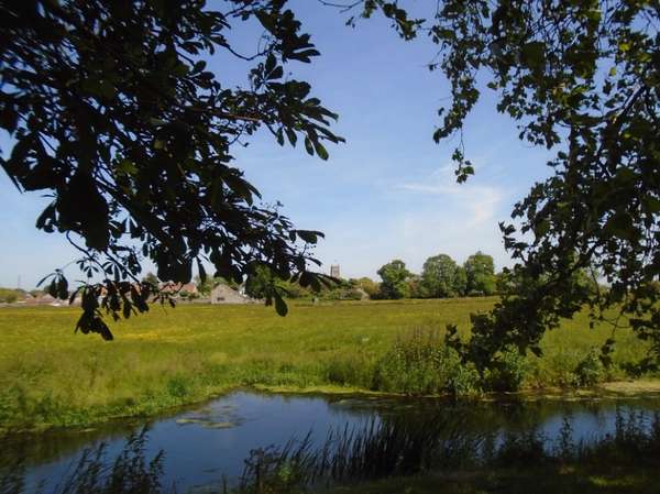
NCN33 in Walbarrow - with St Nicholas Uphill above the buttercups 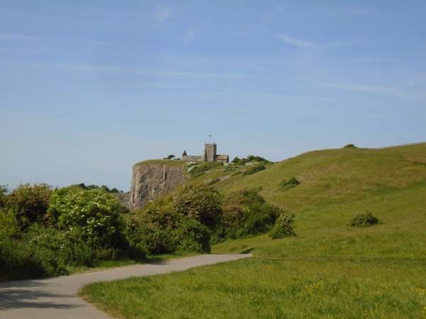
Coast, modest hills and moors, wind, water - and a leaning church tower.
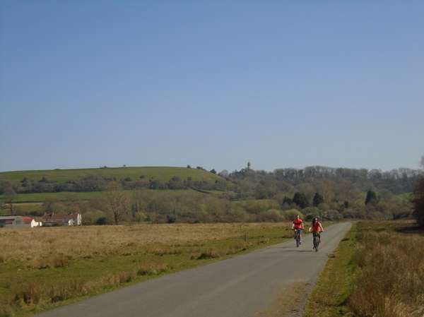
With bright skies and a brisk spring southwesterly, take the train to Weston and let the wind blow you back to Bristol. Start with morning coffee and cake at The Bay cafe on the promenade, with outside tables sheltered in the lee of the art deco Tropicana building. Take the road through Uphill and directly over Bleadon Hill, down through the village and on to Loxton, turning north there through Christon to climb over the east end of Banwell Hill and then straight and level beside the Banwell river and across the moor to Puxton, admiring the ancient church with its leaning tower. From there the stoney track of Dolemoor Lane takes you across the moor to join the Strawberry Line near the bridge over the Congresbury Yeo. So back to Bristol through West Town, Backwell and Long Ashton.
After The Bay cafe there are inns in Bleadon, a community cafe in Loxton, inns and the station cafe in Yatton and with a slight deviation from the route, in Congresbury. Opening times from the web.
Crosses straight over the A370 on the way to Bleadon. Briefly uses another much busier short stretch of the A370 at the Congresbury end of Dolemoor Lane. Wait as long as necessary for a gap in the traffic both ways to cross here and then walk the hundred yards along the pavement past the petrol station if necessary. There is a short, quieter stretch of the A370 within the 30 mph limit in West Town, Backwell.
The route passes both Yatton and Nailsea & Backwell stations providing an alternative for those too familiar with the Bristol penumbra.
A brisk southwesterly and surf's up in Weston-super-Mare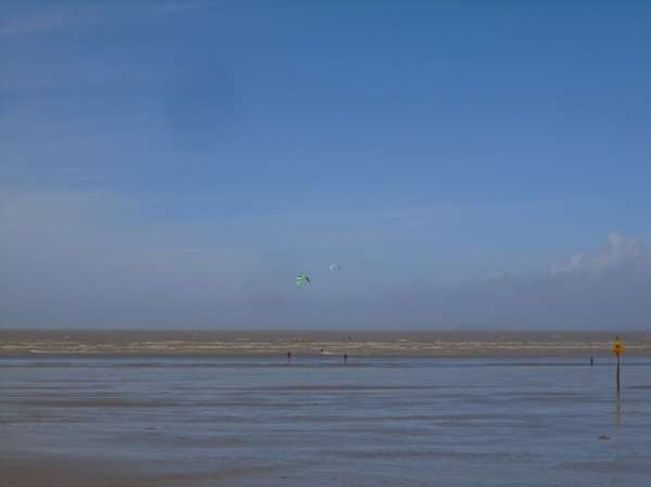
'The Bay' cafe: Coffee and cake in the lee of the art-deco Tropicana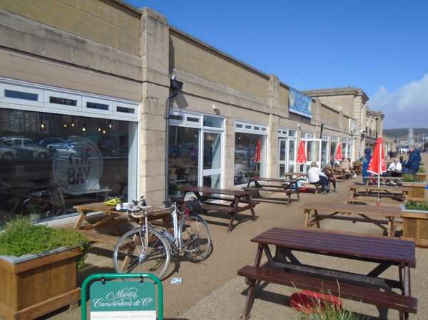
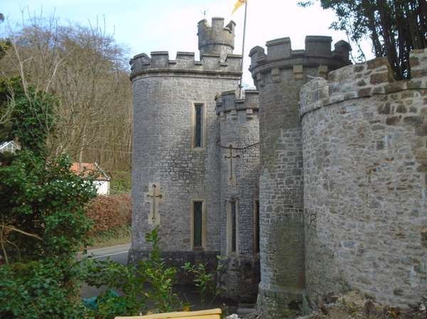
The turrets of Banwell Castle
.
Leaving Banwell
.
Banwell River.
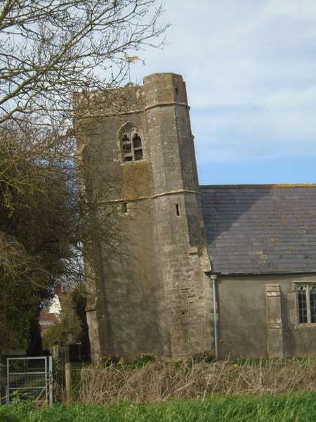
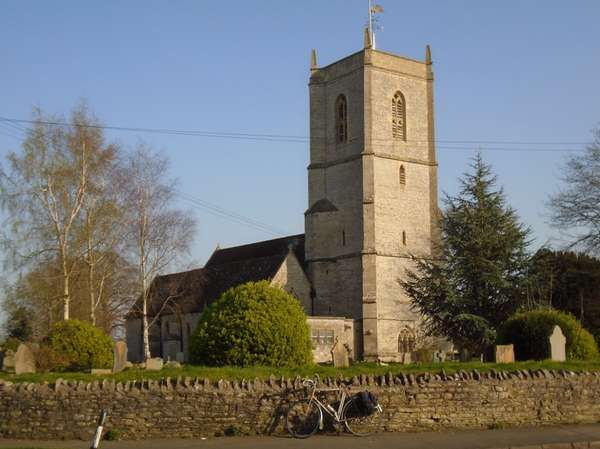
The leaning tower of St Saviour's, Puxton
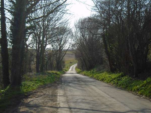
Dolemoor Lane much wetter than usual - usually rideable throughout.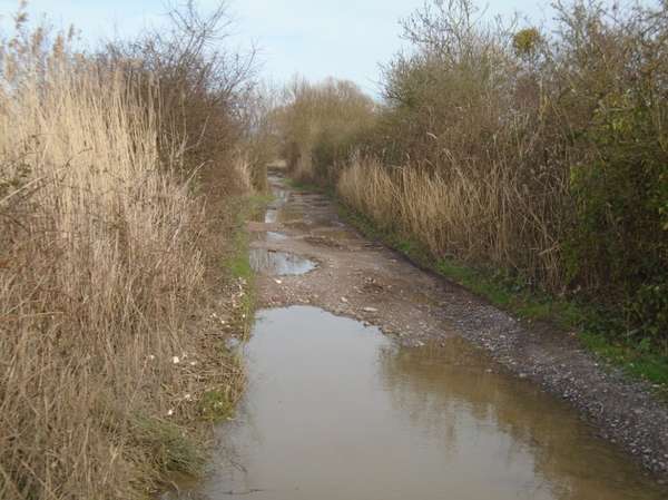
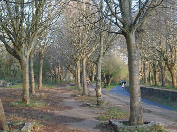
Back on the Strawberry Line - New Rhine bridge.
A good ride for a grey February day with a chilly north-easterly: let the wind blow you to Weston, then take the train back. Not quite the most direct route, but a simple flight across the marshlands, down the Strawberry Line and along below the south side of the Mendips to enter Weston from the South.
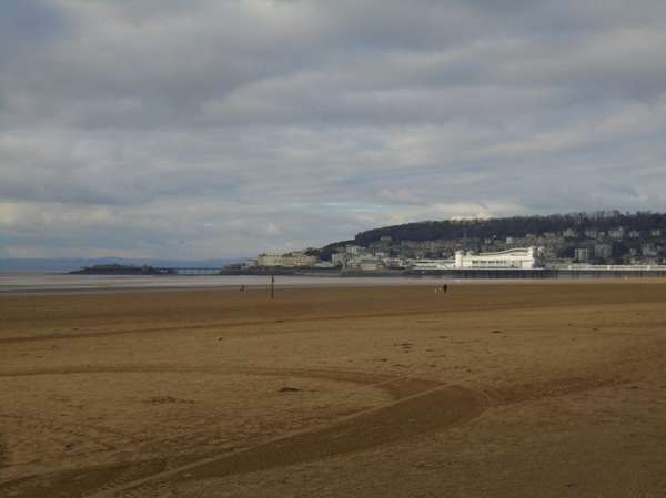
As always when taking the most direct route south west from north west Bristol we start north, following the Avon along Sea Mills Reach, turning west after Horseshoe Bend to run south west down the Gordano Valley and across the north Somerset levels to Yatton. Picking up a pasty from Pullin's the baker provides a picnic on Biddletown Moor on the Strawberry Line (NCN 26). Then southward, tunnelling through the Mendips at Shute Shelve, turning west above Cross and taking the road below the south scarp of the Mendips through Rackley and Bleadon to enter Weston from the south along NCN 33, passing across Walbarrow Common under the ruin of St Nicholas at Uphill and so to the golden sands and silver seas of Weston-super-Mare, a resort for all seasons.
The loop along Barberry Farm Road on entering Yatton gets you to Pullin's bakery and then to the Strawberry Line with minimal use of the busy B road through Yatton. The more conventional right turn straight onto the Strawberry Line takes you past the station cafe. There are also two inns near the station.
When turning onto the A371 at Axbridge use the short section of pavement cycle track at the bottom of the hill to take you left to the dual carriageway section where the sight lines to the right are much better. The A371 carries quarry lorries towards Cheddar, coming from the right. This apart, the section on the A371 is short and the traffic light. At Cross, use the pedestrian island to the right to ease crossing the A38.
After the strange NCN trimming by Sustrans the departed parts of NCN26 near Yatton and Portishead are joined by the back road along the Gordano Valley, which has now resumed its original marking as 'Avon Cycleway' and is just as quiet as it always was.
February on Sea Mills Reach from above Horseshoe Bend.
Winter picnic on Biddletown Moor, crossed by the Strawberry Line.
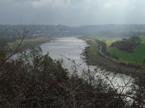
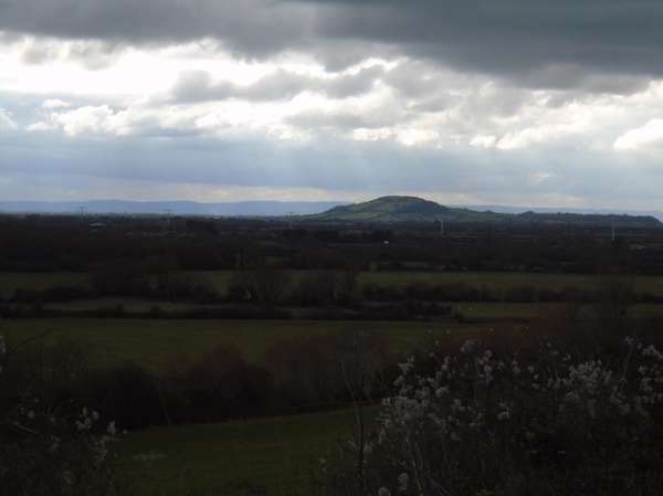
Brent Knoll on the Somerset Levels seen from above Rackley, below Crook Peak.
Ruined St Nicholas above Uphill, flying the English and Ukrainian flags in late winter 2023.
The Golden Sands of Weston in February.
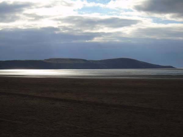
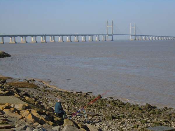
Brean Down with winter afternoon sunshine silvering the Severn Sea.
A fairly level route across the moors, through and round the western end of the Mendips with three ancient churches as landmarks.
South east on the Strawberry Line across the moors from Yatton station. Then an out and back spur from Sandford through Shipham, passing St Leonards, and up into the edge of the Mendips at Rowberrow, where St Michaels stands under Dolebury Warren. Back to the Strawberry Line to go through Winscombe and Shute Shelve tunnel to the edge of Axbridge. Along in front of the south slope of Wavering Down to Compton Bishop and St Andrews nestling in the valley between Crook Peak and Wavering Down. Round the end of Crook Peak and past Barton back to Winscombe to rejoin the Strawberry Line for a straight run north back to Yatton.
Useful picnic spots at Winscombe Station, above Cross, and of course the seats on the Strawberry Line. A pause on the moor is always worth it even if hurrying back for the next train can be irrestible. Refreshments at the Swan, Rowberrow/Shipham, cafe and inn in Winscombe and at Yatton and Sandford.
In Sandon the route shown uses the usually quiet A368 through Sandford for tarmac one way and the gravel and beaten earth NCN route 26 past the cider factory the other. One is faster and smoother, the other off road. Pullin's bakery in Yatton will have hot savouries, hot and cold sweets until about 1300, can be reached using back streets avoiding the busy B road. Crossing back over the A38 in Star has poor sightlines to the right, walking towards the left may improve matters.
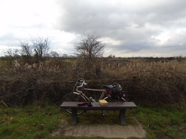
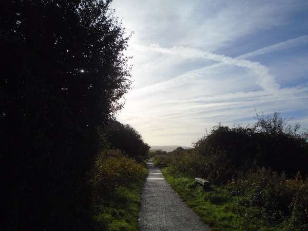
Late autumn morning on the Strawberry Line south of Yatton with the Mendips on the skyline. With seat!
One of the network of rhines draining the marshland pastures.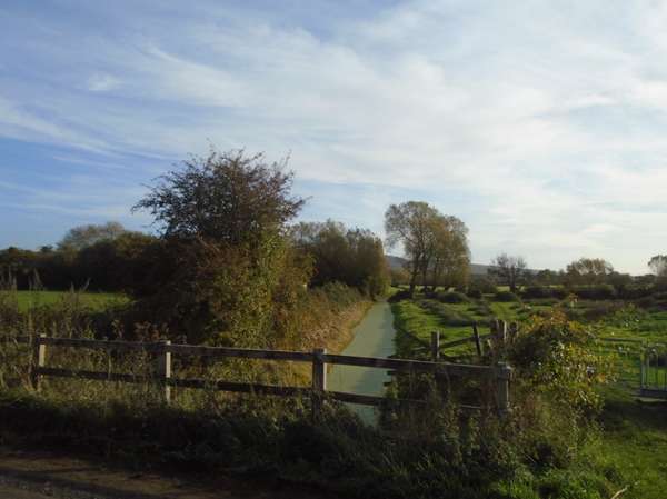
St Leonard, Shipham.
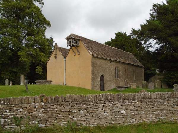
St Michael, Rowberrow.
St Andrew, Compton Bishop on a grey day with the Crook Peak ridge behind.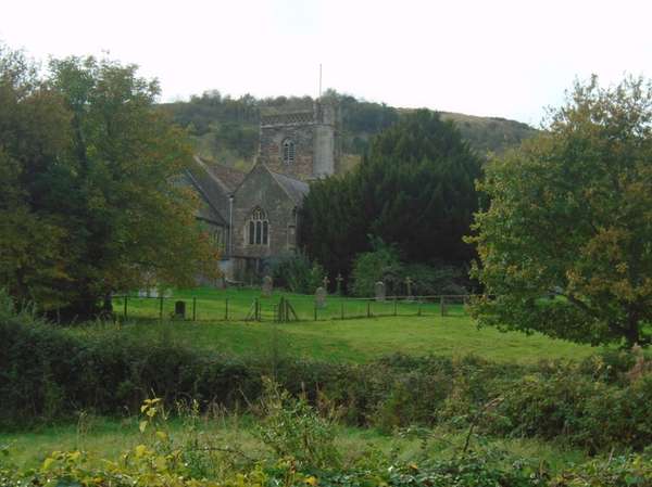
The south scarp of the Mendips: Wavering Down, seen across the churchyard & Compton Bishop.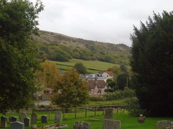
River, marshland, rolling Cotswolds and railway path. Sweeping views and timeless English villages.
Along the river front from Severn Beach station, then inland across the marshes and Inglestone Common, climbing to Hawkesbury Upton on the Cotswold edge before turning south east over the top of the Cotswolds through picturesque Little Badminton, then past Great Badminton with it's private and well concealed Beaufort mansion. Onwards through Acton Turville turning west at Burton for a long run across open landscapes to return through Pucklechurch and Mangotsfield. Thence steadily downhill along the Bristol railway path to Lawrence Hill station.
Picnic spots in Tytherington Old Quarry, under the Somerset Monument on the Cotswold Edge and on Mangotsfield old station. Inns and cafes scattered around the villages.
An open jaw route from Severn Beach station and returning to Lawrence Hill station. In 2022 Severn Beach has a new hourly daytime stopping service through Bristol TM to and from Weston, and Lawrence Hill a half hourly service to and from Bristol TM and Avonmouth.
Possible variants include a return to Severn Beach passing through the countryside north of Bristol, or continuation to Sea Mills station, again on the Bristol TM to Avonmouth Service, for those who wish to see Bristol City Centre and the Avon Gorge.
The Severn
Inglestone Common - Somerset monument ahead
Saint Michael & All Angels, Little Badminton
Little Badminton village - spring 2022
West over the Cotswolds towards Pucklechurch
Saint Thomas à Becket, Pucklechurch
Evening, Mangotsfield station


Made in the Cotswolds. Published by Éditions Système D Ltd.
Log in with your cycle.travel account:
| Password |
Or simply use your account on:
