
Become a supporter
Is it possible to plan a route on the android app and then save it to ones phone to allow transfer to a gps device?
Or is it now expected that planning of routes now only really occurs on the website and then one downloads it to phone then to GPS?
It appears that the only time the "save" option appears is once having downloaded a route from ones route folder and then stopped navigation which starts automatically.
When opening a route on the app, from ones route folder, the app automatically goes into "navigation" mode. Is it possible to just have a review mode or "start Navigation" button?
Many thanks
Neal
Re android app and up to date version (new green logo)
Ive noted that following the update to the green logo app that the ypdating of rhe map has become particularly lethargic. Infact at points downright reluctant to update or change between various map options (wayfarer, OS etc). This is regardless of whether I have a poor wifi signal or not. Just tried it sat next to my router and no joy.
Where before I could use the app to quickly plot out a route now its somewhat easier (sometimes) to do it on the website.
Is there a known change to the app/ use philosophy which might cause this mapping reluctancy? I seem to remember seeing a comment in a previous thread about possible times of day that might affect maps due to updates however for me it appears to be anytime.
As an update the only way I seem to get amore reliable app map operability is to force it to close, clear the cache and then start the app again.
Regards
Neal
Apologies if incorrect terminology used.
When using latest Android version, if one navigates away from the map to an alternative app page eg,offline maps download or settings even if pressing the back arrow on the secondary page it will return to the main map page but NOT close out the secondary page. One has to sesperately reveal the secondary page and manually close it leaving only 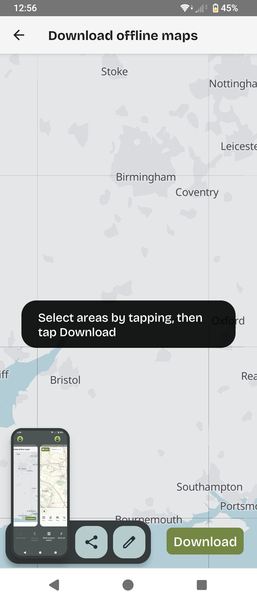
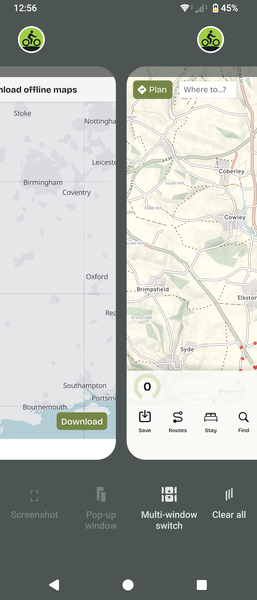
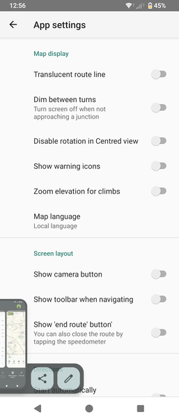
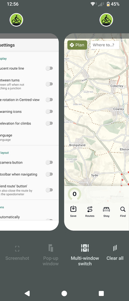 map page open
Hi,
I've failed to find this if it does exist but is it possible to print the elevation profile for a route?
When selecting PDF option for a route the smaller section maps are shown which is a fantastic back up. However, I cant see any similar option/ toggle for the elevation profile.
Is a print option available or possible? Personally useful when planning longer days or efforts on touring, for breaks and also motivation.
Cheers Neal


Made in the Cotswolds. Published by Éditions Système D Ltd.
Log in with your cycle.travel account:
| Password |
Or simply use your account on:
