
Become a supporter
Revisiting this issue I flagged up last year - https://cycle.travel/post/1334
cycle.travel is still routing through the gate, even though openstreetmap is now indicating there is no access and labelling the track beyond the gate as a "Service Road" and "Allowed Access" as "private".
See here: https://www.geograph.org.uk/photo/5958769
and here: https://www.geograph.org.uk/photo/5958767
Does the openstreetmap info need changing further?
https://www.openstreetmap.org/edit?node=295682810#map=19/53.06594/-4.28471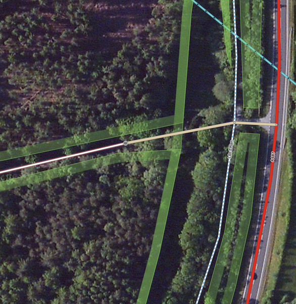
Suggested route through a walled private estate isn't possible due to locked 8' high wrought iron gates, which don't have the appearance of being opened for quite some time. Simple alternative route available. How best to flag this up?
Great very useful site and resource, many thanks. A question: What do the dashed white lines mean? Here in Snowdonia, the nearest example to me is a disused quarry incline. Further toward Croesor and Tanygrisiau there are other examples at known ex quarry workings - but one white dashed line crosses over the surface of a reservoir, which makes me wonder? Is there a map symbol legend available?


Made in the Cotswolds. Published by Éditions Système D Ltd.
Log in with your cycle.travel account:
| Password |
Or simply use your account on: