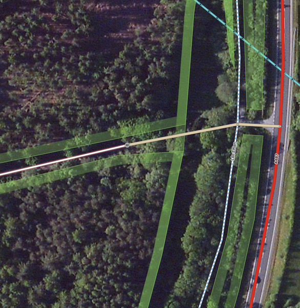
Revisiting this issue I flagged up last year - https://cycle.travel/post/1334
cycle.travel is still routing through the gate, even though openstreetmap is now indicating there is no access and labelling the track beyond the gate as a "Service Road" and "Allowed Access" as "private".
See here: https://www.geograph.org.uk/photo/5958769
and here: https://www.geograph.org.uk/photo/5958767
Does the openstreetmap info need changing further?
https://www.openstreetmap.org/edit?node=295682810#map=19/53.06594/-4.28471