
Become a supporter
Hi all,
A pal has sent me a ridewithgps route (his choice of mapping: heathen!).
I don't know much about it, so just exported the .gpx "as is" & imported to cycle.travel.....
....but the routes are markedly different:
I suspect it is something around him perhaps having routes or waypoints, and maybe there is nothing I can do....
....but can anyone suggest a way I can get the route he planned to appear in cycle.travel?
Cheers!
Just wondering whether it is possible to just share a subfolder of routes with people
(eg - https://cycle.travel/by/mikeiow/journeys?group=6165)
I tried sharing it to check, but the recipient essentially sees all my other routes as well.
Not massively important, but could be useful!
cheers
I have used cycle.travel & my Roam quite a lot.....& recently noticed that when exporting my mapping, the recommendation comment on "more download options" no longer mentions the Wahoo
Is there a reason for this?
I have still been using TCX, and I noticed (saw another thread) that the turn notification has re-started working (it stopped for my entire LEJoG, but wasn't a desperate issue - it changed then to just telling me the miles to next junction as the distance to the end of the ride, which actually worked okay for that, & I didn't mss many junctions!)
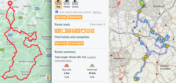
I am in the final throes of planning my LEJoG (start next week!)
For day 3, my journey looks good....but when I click the elevation icon, the route suddenly extends from the start of Day 3 to my house (210 miles instead of the planned 60 !!)
I will re-do the journey, but wondering if there is any known reason this might happen!
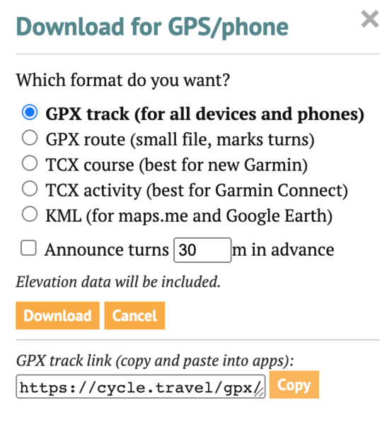
(I recall reading that I need to click that for the .tcx to have correct information for my Wahoo Roam - & as an aside, I see there is still no direct way to move data to Wahoo)
Planning LEJoG, with a Scottish portion with some pals.
They use RideWithGPS, and it came up with this route off the A9 new Newmill Farm just north of Perth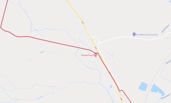
Cycle.travel resolutely refuses to allow a left turn there!
google maps does show some serious roadworks on street view:
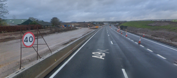
Anyone got ideas on how to find what the real truth is this?!
Thanks!


Made in the Cotswolds. Published by Éditions Système D Ltd.
Log in with your cycle.travel account:
| Password |
Or simply use your account on:
