
Become a supporter
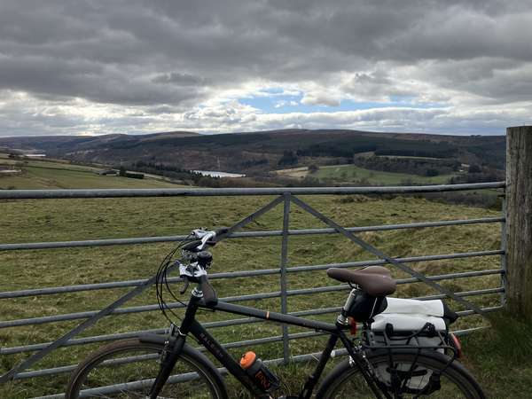
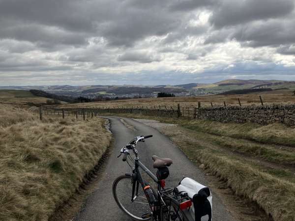
Started with a main road and thereafter mostly a mix of track and footpath, some of which was passable by bike, although there were also a few gates. The views were quite good: across to Manchester and then over the moors.
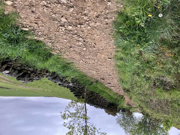
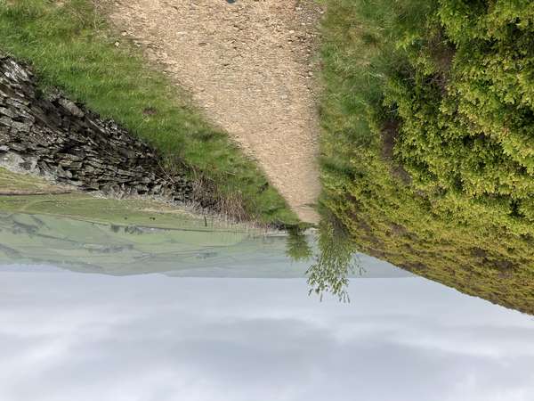
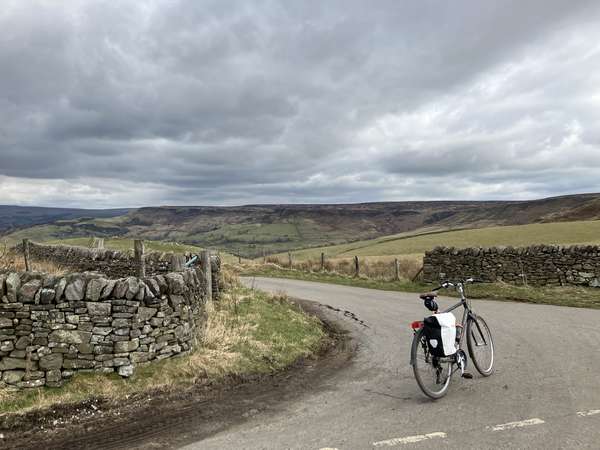
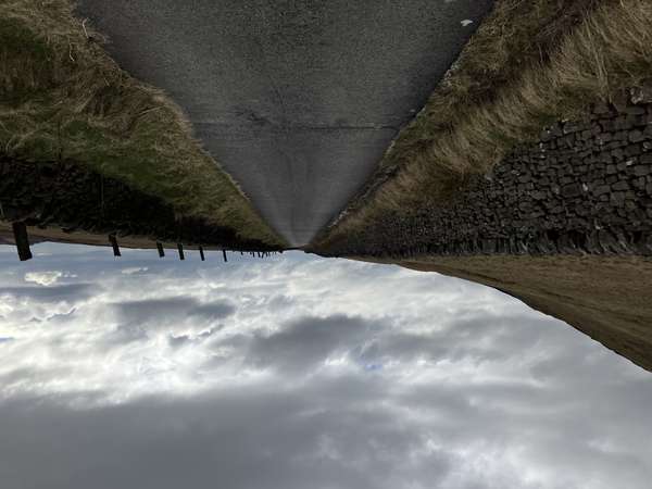
The old railway line to Macclesfield was pretty with a good surface and not many people, but a bit boring: not much view in most places. Lots of steep incline going up into the peaks, with wide views and lots of quaint villages; the countryside was a bit barren though - not much shade! Had a puncture and decided to cut the original route short, heading back via Langley, where I missed the turning to stay on the cycle path; the quiet lane before Langley was very pretty - and downhill!
A fun trip overall, with varied terrain, views and weather - had to shelter under some trees for about half an hour. Actual journey time was about 4 hours, as predicted.
Starting off from Glossop and cycling to Hadfield was unremarkable; could have got the train straight to Hadfield instead. Then on to a National Cycle Network (NCN) path, surrounded by trees running parallel to the main road(s); the path was unpaved but fairly good, with occasional rutted / gravel sections and gates. The final main road section - after a disused railway tunnel - was too steep / slippery to pedal.
The rest of the journey was on paved road, with very few cars, varied scenery including views over different valleys. Hade Edge looks like a dump, so it made sense to follow the NCN path there even though it's a bit of a detour.
Weather was relatively cold / rainy so wore a long sleeve jacket with sports shirts underneath, and shorts on the bottom. Having hiking boots was ideal for the wet / muddy conditions.
Relatively busy initially, even on the single track roads. Hilly scenery a lot of the way, which should look a lot nicer when the leaves are out. Many steep ups and downs along the route, but it still took about the 2.5 hours predicted.
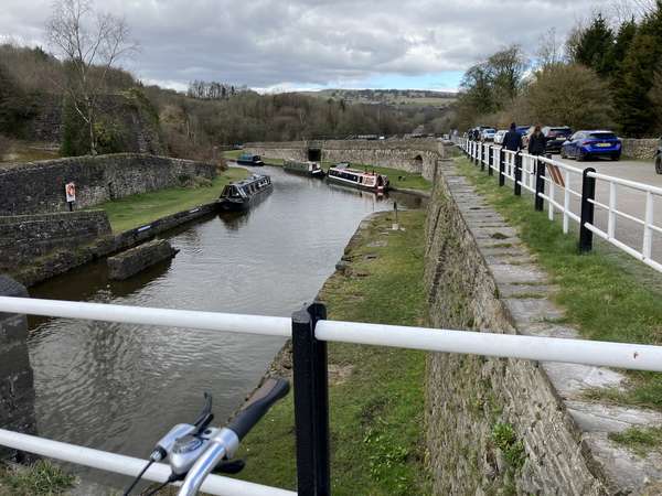
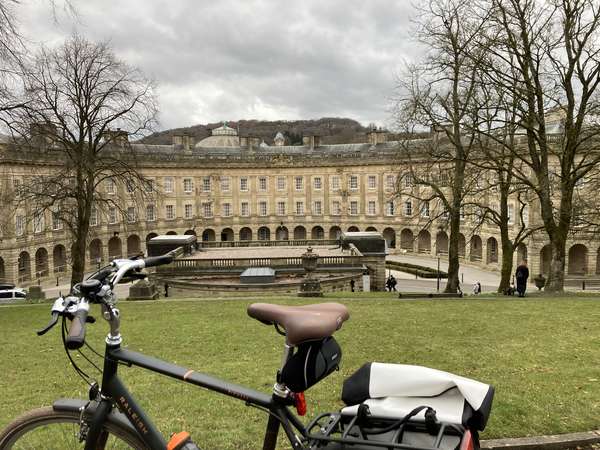
Passed through New Mills and stopped for a snack at Buxworth (canal), near a busy road sadly. Passing around Whaley Bridge, the final section was the quietest - tarmac road leading to vehicular dead end - and most scenic, up to Buxton.
Wore normal shoes, black camping trousers, and full sleeve reflective jacket (with nothing underneath).
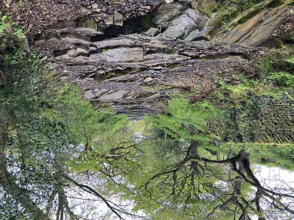
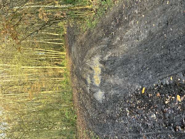
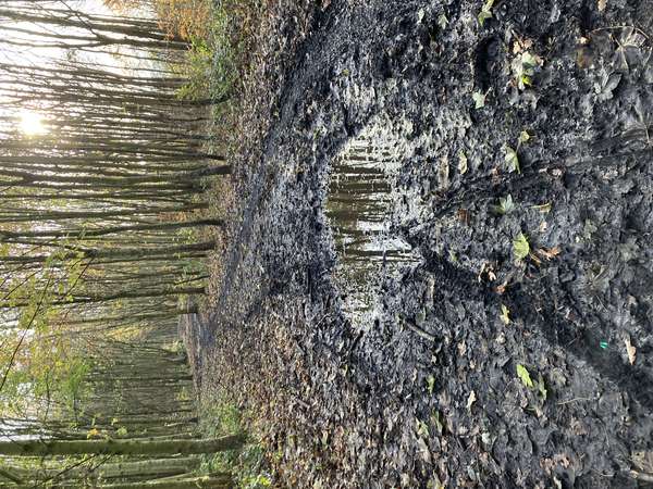
Red Route beyond recycling centre is wooded on both sides of the M60 bridge, and then runs along the river for a while - a section previously seen to be very busy. After this it enters two wooded sections, separated by an uninspiring stretch on a road next to the A6144. Both wooded sections have extremely muddy areas - enough to clog the mud guard!
Suggestion: after crossing the footbridge (after the river stretch), take the left fork to St Martins Church, then Manor Avenue.
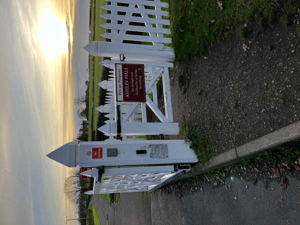
Partially rode, partially walked through Ashley Hall Estate (Tatton) to avoid the motorway stretch - worked well as part of it is cobbled anyway. No sign forbidding cyclists at the Ashley end.
Suggestion: to get through Sale a bit faster, try foot/cycle path starting from Woodwise Lane, followed by Baguley Lane.


Made in the Cotswolds. Published by Éditions Système D Ltd.
Log in with your cycle.travel account:
| Password |
Or simply use your account on:
