
Become a supporter
Post-war redevelopment wasn’t kind to Worcester. Cars race between the traffic lights and junctions on the city centre ‘relief roads’ of City Walls Road and Deansway, making the cyclist feel distinctly out of place. The ring road has taken some traffic away from the centre, but not enough.
It’s a similar story on the main arterial roads: on the narrow Newtown Road, for example, impatient drivers squeeze past the weary cyclist battling up the hill. This means there’s no easy way from the east of town into the city centre.
But once you’re away from the centre, the story is much more pleasant. You can often carve out a route through residential estates without encountering much traffic.
Worcester’s terrain is very sympathetic… as long as you stay by the river. Going east, however, requires a fairly taxing climb out of the valley. The west bank is more forgiving.

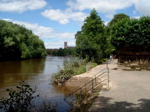
Worcester was built around a crossing of the River Severn, and the river still defines the city’s geography today. Two riverside paths head south from Worcester Bridge towards Diglis, where they’re now connected by the striking new Diglis Bridge.
The city’s other waterway is the Worcester & Birmingham Canal. The towpath is fully cyclable and has been recently resurfaced, though the descents at locks are steep and narrow.
Dozens of cycle routes have been built as part of the estates in the east of the city. These are joined together by a circular route, or in Worcester parlance, the ‘Orbital Pedway’. By contrast, there’s very little off-road provision to the west of the Severn, in St Johns and Lower Wick, though the Sabrina Bridge does at least link the University with the city centre.
Worcester is something of a hub on the National Cycle Network, with three routes converging here. Leisure routes have been signposted into the surrounding countryside, marked with a series of coloured symbols (such as a purple square or green triangle).
A CTC survey showed York to be the safest place to cycle in Britain, and just a few minutes in the town will demonstrate that it’s much less stressful than London. There’s a courtesy in car/bike interactions that doesn’t exist in many other cities. But that’s not to say it’s all easy.
The one-way system around Fishergate and Fawcett Street, aka the ‘Fishergate Gyratory’, is a notorious junction. New crossing improvements have eased the situation a little, but we’d still suggest finding an alternative route if possible. South of here, Fulford Road (the A19) is busy and difficult, despite on-road cycle lanes, and you may prefer to travel a little further to use the riverside path.
On the opposite side of town, Bootham Bar (west of the Minster) may be picturesque but also has a poor safety record, with cars regularly running the red lights.
You’ll need to keep your wits around you either side of the railway station – that is, from Queen Street, over Lendal Bridge, up to Museum Street. The narrow road is invariably full of traffic, not least buses turning and pulling out.

Stamford Bridge is a pleasant village just 10 miles east of York, best known for the battle in 1066 that saw the Vikings expelled from British soil – only to be defeated by the Normans three weeks later. The best route from York follows the Way of the Roses, the popular National Cycle Network ride that extends all the way from Morecambe to Bridlington. This is just a taster of it!
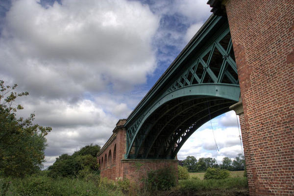
Leaving York on the Foss Islands route, minor roads continue to Dunnington. Here a gravelly but solid farm track crosses fields towards Stamford Bridge, where there are cafés and pubs. The cycle route crosses the River Derwent on an imposing viaduct.

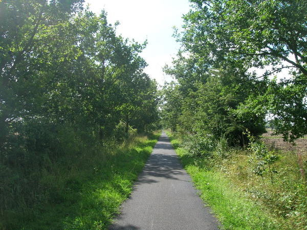
When the East Coast Main Line was routed away from Selby in the early 1980s, the old trackbed was kept – partly for a road, but mostly as a cycle path. It became an early project for the embryonic Sustrans, branching out from its Bristol heartland for the first time.
It’s 15 flat, tarmaced miles to Selby, starting on the west bank of the river and continuing through Bishopthorpe and Riccall. This is far from dramatic countryside, of course, but apart from the one mile beside the A19, it’s always a pleasant ride. Selby’s abbey and river swing-bridge are worth a visit. There are regular trains back to York, or you could head back on country lanes via the river bridge at Cawood.
Look out for the scale model of the solar system along the way. We haven’t established which came first: this one or Somerset’s equivalent (beside the Bridgwater & Taunton Canal)!
Log in with your cycle.travel account:
| Password |
Or simply use your account on: