
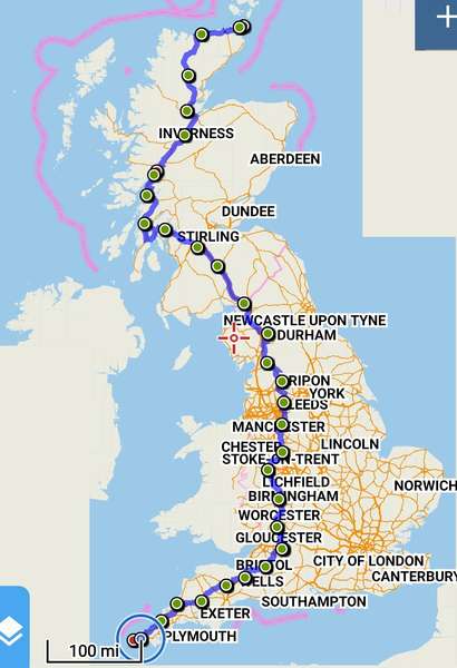
Just a word of thanks for providing this site. We used it extensively in our JOGLE run, which we just completed a couple of days ago. Cycle.travel calculates excellent routes, and was an invaluable resource. We would plan the route segment and then download the GPX file to Locus Map Pro on our phone, which I had mounted on my handlebars. Took us safely all the way using mostly small country roads and NCN routes. A couple of surprises (e.g., farm track going through a field of bulls), but generally excellent routes that we could follow with confidence. Very many thanks.


Comments
Really glad it worked for you! (Dare I ask where the field of bulls was? I should probably correct that in the OpenStreetMap source data…)
Hi Richard. It was here...